
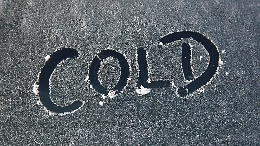
SOUTHERN ILLINOIS/WESTERN KENTUCKY – Fall is going to feel like winter next week as an arctic blast is expected to sweep across our region.
Forecasters at the National Weather Service in Paducah say a cold front is set to move through the region Friday bringing a chance for a few showers and thunderstorms. Another chance of showers is possible Saturday night followed by much colder temperatures Sunday into next week. We can expect widespread hard freeze conditions Sunday night and Monday night.
Lows will be in the low to mid 20s Monday morning and in the mid 20s Tuesday morning. Wind chills are expected to fall into the teens Monday morning. High temperatures Monday may struggle to climb above 40 degrees in some spots.
You should have your winter gear ready to go for Monday and Tuesday mornings.