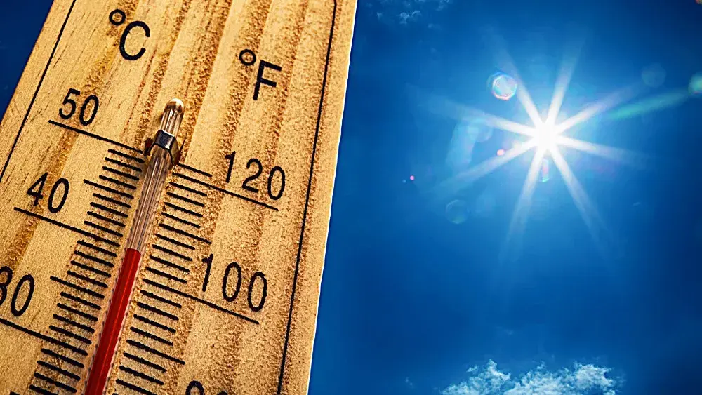
SOUTHERN ILLINOIS – No matter where you’re going to be in southern Illinois today, it’s going to be hot with some showers and thunderstorms possible.
According to the National Weather Service in Paducah, the Interstate 64 corridor remains in a Flood Watch today.
A Heat Advisory and Excessive Heat Warning cover all but the Interstate 64 corridor from today through Thursday. Elsewhere, expect afternoon heat indices to range from 105 to 110 through Tuesday. The entire Quad State will experience the extreme heat and humidity Wednesday and Thursday.
Chances of thunderstorms return to the forecast over portions of the region this weekend, and that may finally provide some break from the heat and humidity.
Heat related illnesses increase significantly during extreme heat and high humidity events.
So drink plenty of fluids, stay in an air-conditioned room, stay out of the sun, and check up on relatives and neighbors.
Do not leave young children and pets in unattended vehicles. Car interiors will reach lethal temperatures in a matter of minutes. Bring your pets indoors if you can. If not make sure they have some shade and fresh cool water.
If you have to be outside for anything, wear lightweight and loose fitting clothing. Try to limit strenuous activities to early morning or evening. Take action when you see symptoms of heat exhaustion and heat stroke.
To reduce risk during outdoor work, the Occupational Safety and Health Administration recommends scheduling frequent rest breaks in shaded or air conditioned environments. Anyone overcome by heat should be moved to a cool and shaded location. Heat stroke is an emergency so call 911.